


-
Best Places To Pick Oranges In Central Florida
Central Florida is known for its numerous citrus groves and there are several places where you can pick your own oranges. Keep in mind that…
-
Florida Winter Outfits. Our Pick for the Best 15 Items to Wear in Florida During the Winter Months
Winter is coming! As the whole of America cover themselves with massive layers of clothes, in a land not so far away reside the Floridians,…
-
Best Family-friendly Orlando Bike Trails
There’s always a fun thing to do in Orlando. If you are into cycling, you’d be surprised to find out that there are actually many…
-
Skip The Mouse: Here Are Some Of The Best Places To Explore In Central Florida
While we all love that iconic mouse, some of us are Disneyed-out. Disney World is a spectacular place, but there are other sights to see…
-
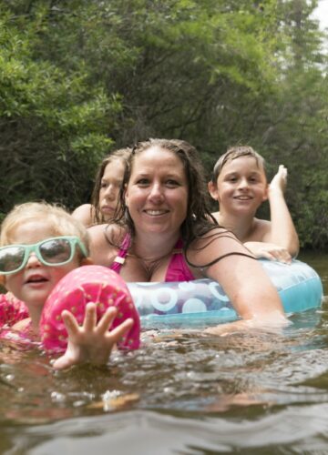
Is it Safe To Swim In Lakes In Florida?
Florida is known for its beautiful beaches and warm weather, but did you know that many lakes in central Florida are popular for swimming and…
-
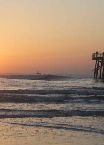
Best Beaches Near Orlando
Orlando, Florida, is known for its world-class theme parks, but did you know that it is also close to some of the best beaches in…
-
Florida Home Maintenance
Florida is a state that is known for its sunny weather and beautiful beaches, but it is also notorious for its humidity, moss, pests, and…
-
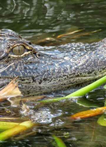
Best Places To See Alligators Near Orlando
Florida is known for its abundance of alligators, and Orlando is no exception. It is estimated that there are about 1.25 million alligators that live…
-
Colleges in Central Florida: A Guide to Higher Education
Central Florida is home to some of the best colleges and universities in the state, offering students a wide range of academic and extracurricular opportunities.…